
Kissimmee Neighbors Across a Block
Official sources describe land, owners, districts, registered voters, and defined safety records. They do not create a full list of every adult or child on a Kissimmee block. Choose the source that fits the question, then preserve its limits in your notes.
| Source | What It Shows About a Block | Access |
|---|---|---|
| Parcel GIS | Adjacent boundaries and links to owner records | Free search, map pan, and parcel click |
| Property tax roll | Owner, situs, mailing address, exemptions, and parcel facts | Free live search and annual roll data |
| Map context | Aerial, zoning, flood, CRA, subdivision, and city-limit layers | Public GIS; no household identities |
| Voter records | Registration evidence where lawful records permit | Individual lookup; protected fields withheld |
| Neighborhood Watch | Program contact and police liaison | Join request; no public member roster |
| FDLE neighborhood search | Registry subjects in a chosen radius | Official safety tool, not a general neighbor roll |
A parcel owner may live elsewhere, and the mailing field may reveal that fact. A homestead exemption supports an owner-occupancy inference but does not name the household. Apartments may share one parcel, while condominium units may be mapped separately. Record what the roll says, not what the map seems to imply.
Place Kissimmee Neighbors Correctly
A “Kissimmee, FL” mailing address can sit in Buena Ventura Lakes, Celebration, Poinciana, or other unincorporated county territory. This local quirk affects which police agency, permit office, and civic program serves the block. Check the standardized postal address, parcel jurisdiction, and mapped city limit before calling a city office.
The Kissimmee Around Me map accepts an address and shows nearby city projects and services. The Property Appraiser supplies parcel and taxing-district facts, while USPS answers the postal question. None of those layers alone defines a neighborhood.
Map a Kissimmee Neighbor Block
The Osceola Property Appraiser data and GIS route supports a true block workflow. Its map offers parcel selection, owner and subdivision layers, city limits, easements, aerial years, and exports. Use only tools exposed in the current viewer, since map controls can change.
- Confirm whether the target lies inside Kissimmee city limits or in unincorporated Osceola County.
- Search or geocode the address, zoom to parcel outlines, and open the target parcel card.
- Record its account number, situs, legal description, and owner mailing address.
- Pan and click the parcel on each side and across the street. Open each card separately rather than inferring names from map labels.
- Save the source date and distinguish owner evidence from any supported occupancy evidence.
For a longer run beyond the immediate block, use the Kissimmee by-street directory. It follows the full address chain rather than the nearby-parcel view.
Layers Behind Kissimmee Neighbors
Osceola's parcel map exposes more than boundaries. Verified tools include aerials from 2005, 2008, 2011, 2014, 2017, and annually from 2019 through 2026; owner, subdivision, city-limit, PLSS, and easement layers; parcel and attribute selection; buffers by subdivision group or radius; sale-date filters; and Excel export. A buffer selects parcels around a point or group. It does not prove which people live inside the circle.
Zoning, flood, CRA, and aerial layers describe the physical and service setting. They can explain why the lots differ, where commercial property begins, or whether one postal block crosses jurisdictions. Keep geometry and people as separate evidence.
Note: A common apartment parcel cannot enumerate units, residents, or relationships among the people who use the building.
Kissimmee Neighbor Community Contacts
No verified public HOA roster or citywide neighborhood-association member directory exists in the research. Kissimmee Neighborhood Watch accepts join requests, but it does not publish a member list. City staff first confirm that the address is inside city limits and direct unincorporated residents to the Osceola County Sheriff.
Kissimmee Neighborhood Watch
KPD Community Engagement
8 N. Stewart Ave.
407-846-3333
ceunit@kissimmee.gov
City Advisory Boards
Participation questions route through the City Clerk at 407-518-2309. Board service is civic contact, not proof of residence.
Osceola Chamber
The public directory searches business members by keyword, category, alphabet, and radius. It is not a household directory.
The official Neighborhood Watch page is the right channel for program participation. Ask for a liaison, not private member details.
Official Kissimmee Safety Layers
The FDLE registry offers an address-radius neighborhood mode and shows qualifying registry subjects. It is a focused public-safety tool, not a roll of Kissimmee neighbors and not a full criminal-history search. Use the official result's status and address source, observe its warnings, and do not contact or harass anyone based on a map point.
The Osceola daily corrections report answers a different question about current custody.
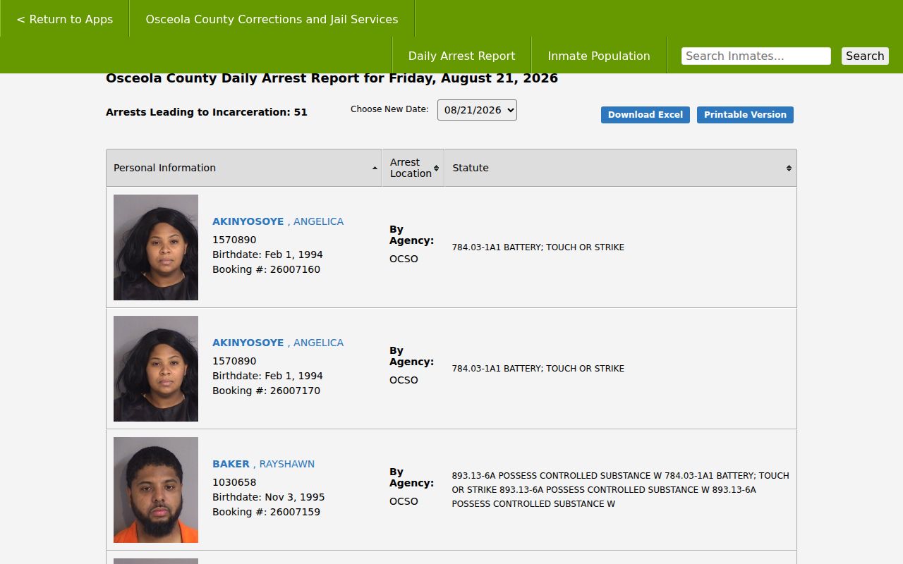
A custody entry does not establish that a person lives on the searched block. Keep corrections, registry, and parcel evidence in separate categories.
Kissimmee Neighbor Source Choices
Official rolls have defined custodians and clear fields. Commercial neighbor tools combine changing data from many places, may charge, and can repeat stale or mismatched addresses. Verify a useful lead at the government office that created it.
| Choice | Strength | Limit |
|---|---|---|
| Parcel and tax roll | Dated owner and land facts from Osceola | Ownership is not occupancy |
| GIS layers | Block shape, jurisdiction, and physical context | No complete household identities |
| Commercial compilation | May gather leads quickly | Source age and identity matching may be unclear |
County tax-roll downloads can help with a defined block when opening each parcel would be slow, but protected exemptions and redactions still apply. Record the parcel key beside each owner and mailing address, then return to the live card before making a current claim. The voter-status tool is designed for individual verification, not street browsing. A lawful public-record extract may omit protected voters and fields, so it cannot fill every gap left by the property roll. Missing names are not evidence that a home is empty.
Business-radius results from the Osceola Chamber add shops, services, and public business contacts near the address. They should stay in a separate community layer. A business address does not identify a nearby household, and a registered contact may work there without living near the block.
Past Kissimmee Neighbors at Rose Hill
For historic block research, the city-owned Rose Hill Cemetery supplies a rare named local index. The 40-acre cemetery was donated by the A. Rose family in the 1880s and includes burials from the late nineteenth century to the present. A burial entry can connect a past resident to a date and family trail, but it does not prove the person's last street address.
The Rose Hill burial search provides the official linked index.
Pair a cemetery result with a deed, directory, obituary, or probate file before placing that person on a block.
Protect Private Kissimmee Neighbors
Renters, children, other household members, utility customers, and delivery recipients do not form an open block directory. Florida voter records protect full dates of birth, identification numbers, signatures, and protected addresses. The Attorney General's Address Confidentiality Program gives eligible victims a substitute mailing address, and specified public servants may request statutory protection from individual custodians.
Never try to defeat a confidential address by combining parcel, voter, court, or commercial records. An absent or redacted address is not a puzzle to solve. It is an access boundary.
Lawful use. Find neighbors for civic contact, reconnection, property curiosity, or personal safety. Florida law does not permit stalking, threats, harassment, or intimidation.